culture
Ancient Origins Shape How Visitors Experience High Park Today
Archaeological traces and the 1873 Howard deed continue to shape how people move through the park today.
How we reported this
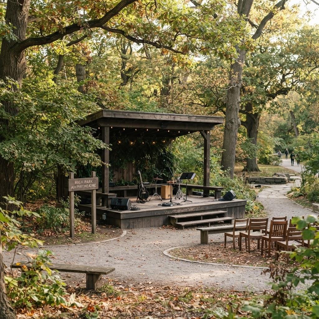
Archaeological evidence places native habitation in the High Park area as early as 7,000 BC, with the Humber River serving as a documented trade corridor between Lake Ontario and Georgian Bay.
That long timeline gains fresh attention in 2026 as residents seek direct encounters with the park’s layered past rather than distant museum displays. The same conditions attached to the 1873 land transfer-natural state preserved, free public access, no alcohol-still govern daily use and give visitors a concrete framework for respectful exploration.
High Park’s eastern edge follows the historic trail route beside Grenadier Pond, while the western boundary sits near the former location of the Iroquois village Teiaiagon, where cleared sandy uplands once supported corn, beans and maize. These fixed reference points turn an ordinary walk into a route that links pre-contact settlement patterns with the 1836 purchase of 165 acres by John and Jemima Howard.
Following the Trade Routes on Foot
Start at the southern end near Colborne Lodge, the Regency-style cottage the Howards completed in 1837, then move north along the pond’s eastern side. The path roughly traces the old trail that ran parallel to the Humber valley trade route. Keep to existing tracks to honour the natural-state requirement written into the 1873 deed. Pause at any of the open sandy clearings; these features echo the uplands cultivated centuries earlier.
Colborne Lodge as Living Anchor
The lodge itself remains the clearest physical record of the Howard gift. Its location at the height of land overlooking the lake explains the original name High Park. Visitors can view the structure from outside and note how the surrounding acreage was deeded for the free use and benefit of all citizens, a clause that still bars commercial development and sets the tone for quiet, alcohol-free gatherings.
The land acknowledgment posted by High Park Nature underscores that the same ground falls under Treaty 13 with the Mississaugas of the Credit and remains the traditional territory of the Anishnabeg, Chippewa, Haudenosaunee and Wendat peoples. Reading that statement on site connects the 1600s village history with present-day recognition.
Plan a visit during daylight hours when the lodge grounds are open. Follow posted paths only, carry out all waste, and limit group size to maintain the free and natural character required by the original deed. These simple steps turn a walk into a direct engagement with the park’s documented cultural sequence from 7,000 BC through the 1873 transfer. The source for these details is the Cultural History of Toronto’s High Park page at highparknature.org.